In a newly announced mapping policy on 15th February 2021, the government of India has opened doors to liberalizing the country’s geospatial data. This move is being stated as a crucial step towards achieving the goal of ‘Aatmanirbhar Bharat’. The Department of Science and Technology (DST) released a set of guidelines for acquiring and producing geospatial data and its services.
What is Geospatial Data?
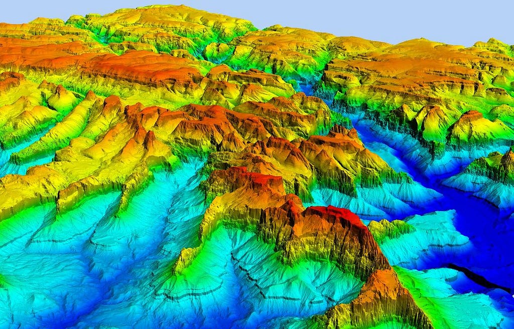
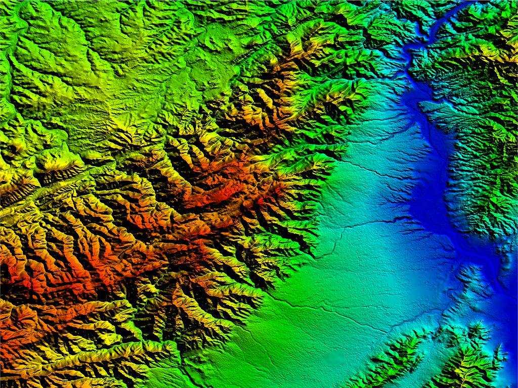
Geospatial data (also called ‘geodata’) is data that represents the objects and/or their attributes on the Earth’s surface. The objects can be man-made or natural. This data is tied to the true geographic coordinates of Earth (georeferencing). Hence, this makes geospatial data extremely accurate. For example, , , vector maps, etc. are all types of geospatial data.
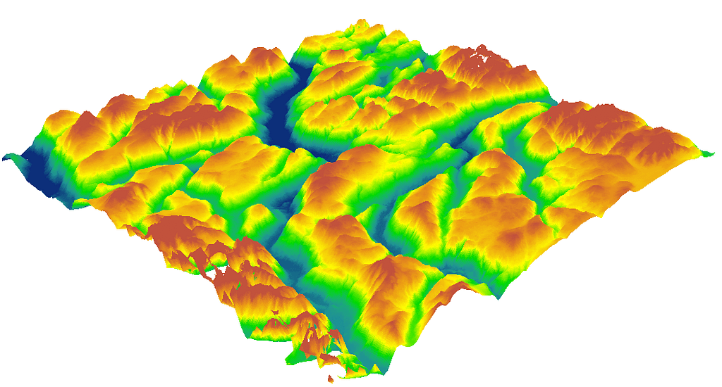
Geospatial Data — Digital Elevation ModelDigital Elevation Model (DEM) is a type of Geospatial Data
Image source: LidarIndia
Some common uses of this data include:
Creating accurate maps
Terrain assessment
Plant health management (Agriculture)
Urban planning
Land surveys
Therefore, geospatial data is of great significance when it comes to civic infrastructure development, agricultural management, mapping, and military.
What Changes Does the New Policy Bring?
Prior to the introduction of this new policy, geospatial data was highly restricted. It was considered a part of national security and was only acquired, processed, and distributed by the , the National Survey and Mapping organization under DST. Thus, for any Indian entity, acquisition of such data required prior approval from the Union, Defense, and Home Ministry. For decades, this lack of data and regulation has prevented innovation and development in terms of the mapping infrastructure of the country.
The policy change in 2021, makes such approvals and older policies obsolete and redundant. Instead, the government has liberalized the collection of this data by any Indian entity. This data can now be freely acquired, processed, and distributed without the need for licenses, approvals, or security clearances. However, the government has issued some guidelines for this acquisition.
New Liberalized Guidelines
These guidelines will be applicable to Geospatial Data, Maps, products, solutions, and services offered by government agencies, autonomous bodies, academic and research institutions, private organizations, Non-Governmental Organizations, and individuals.
Given below are the summaries of the official guidelines issued by the government.
There shall be no requirement for prior approval, security clearance, license, or any other restrictions on the collection, generation, preparation, dissemination, storage, publication, updating, and/or digitization of Geospatial Data and Maps within the territory of India. Self-certification will be used to convey adherence to these guidelines.
Entities do not have the right to physically acquire data of a premise that has been marked as restricted by the Ministry/Department of that particular premise.
Definitions
Attribute dаta: Attribute data provides the characteristics of the geospatial data. It describes what type the geodata is, its description, location, etc.
CORS: Continuously Operating Reference Station (CORS) is a network of RTK (Real-Time Kinematic) base stations that broadcast positioning corrections over the internet. This system is used to improve the precision of position data derived from navigational satellites.
Ground Truthing: Ground truthing is a survey process in which data and images of a particular site are manually collected and verified with satellite data of that site.
Negative Lists
The Department of Science and Technology (DST) has introduced negative lists into its guidelines. These are lists of sensitive/restricted attributes that shall not be marked on any map without regulation. The DST will upload these lists on its website.
However, these negative lists will be minimized in order to facilitate the liberalization of geospatial data collection.
The DST will form a Geospatial Data Promotion and Development Committee to oversee any issue arising due to the regulation or finalization of these negative lists.
Additional Guidelines
Unrestricted access to Indian ground stations and augmentation services (CORS) to aid in ground-truthing/verification.
Maps/Geospatial data of accuracy which is greater than minimum accuracy shall only be created by Indian entities and processed within the country. However, foreign companies can license such data from Indian companies only for the purpose of serving Indian customers.
Maps/data within the minimum accuracy can be stored on the cloud. However, maps/data of greater accuracy must only be stored on domestic clouds, or physical servers within the country.
All geospatial data collected by government agencies will be easily made available to all Indian entities for scientific, economic, and developmental purposes without any restriction.
To learn more about these guidelines, view this.
Conclusion
This change in policy supports the rapid development of the country. Privatization of geospatial data will give a massive boost to startups and existing corporations. With the proper availability of geodata, technologies like autonomous delivery , logistics, transport, and urban development can be expected to speed up. The Ministry of Civil Aviation had granted last year to test BVLoS drone deliveries. Through geospatial data services, such projects can begin taking shape in real-time.

This will put India at an economic advantage across a diverse range of sectors. The self-certification guideline will make Indian entities truly independent without the need for constant government supervision.
“Our government has taken a decision that will provide a huge impetus to ‘Digital India’. Liberalising policies governing the acquisition and production of geospatial data is a massive step in our vision for an Aatmanirbhar Bharat. This move will help India meet its goal of a USD 5 trillion economy,” Prime Minister Modi said in a tweet.
The post appeared first on .
source https://medium.com/@klinkerbud/geospatial-data-to-be-liberalized-under-new-government-policy-b022922d832b?source=rss-8a287f9546ea------2
Комментариев нет:
Отправить комментарий